Coast Aerial Imaging is the top choice for drone work for several compelling reasons. First, the commitment to excellence is proven in every project, as they utilize the latest drone technology using skilled operators to ensure accurate and high-quality results. This ensures that clients receive professional results that meet and exceed expectations. Additionally, Coast Aerial Imaging prioritizes safety and compliance, providing peace of mind for both clients and stakeholders. Their tailored approach to understanding and meeting client needs sets them apart, ensuring a seamless and effective collaboration with on-time deliverables. When it comes to drone services, Coast Aerial Imaging stands out as a reliable and professional partner, dedicated to delivering outstanding aerial solutions. You can see more in-depth information and examples of our work by visiting our SERVICES page.
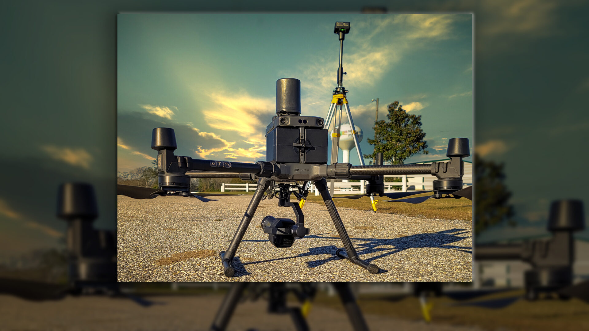
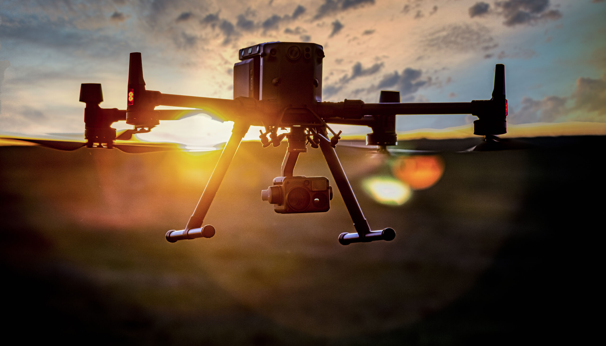
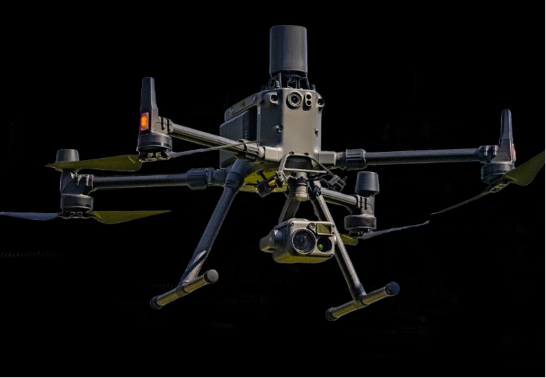
Our aerial vehicles are safe and dependable with built-in redundant systems. Coast Aerial Imaging can deploy four or six-rotor platforms depending on the environment. Our aircraft can fly up to 35 min continuously in all weather. The CSM Radar with RTK allows close proximity positioning in any environment to capture high-resolution photography or video. We use advanced capturing techniques and proven mapping applications to get professional and repeatable results.
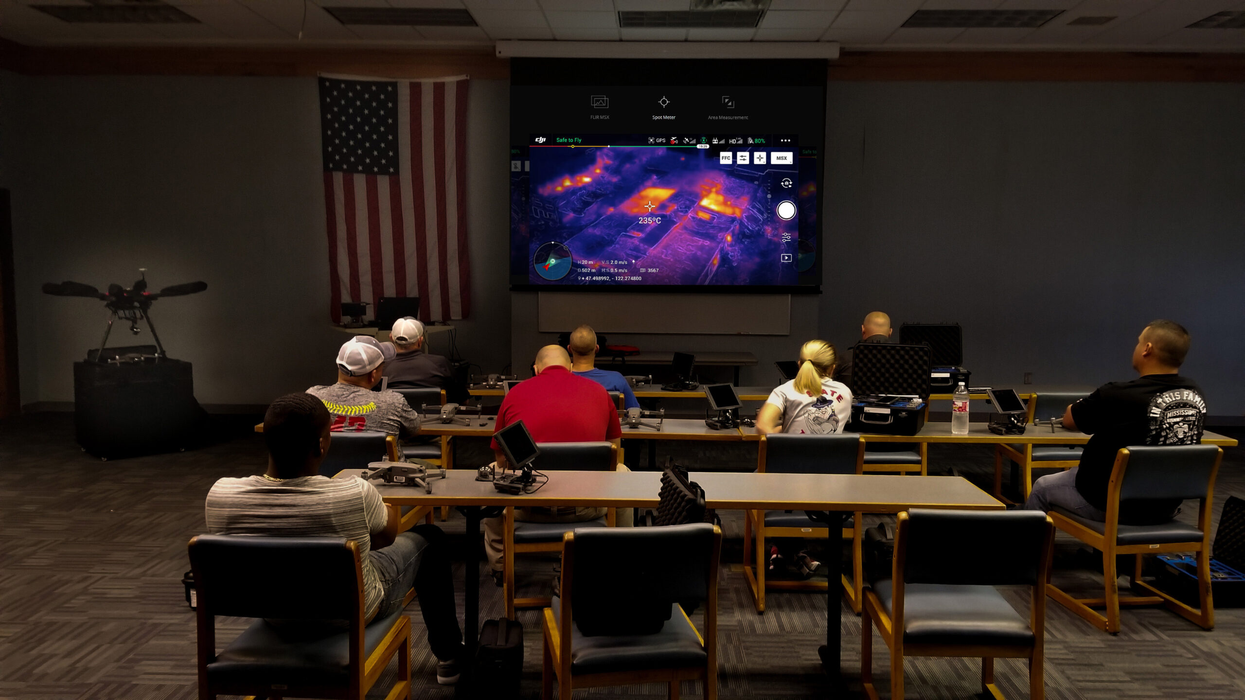
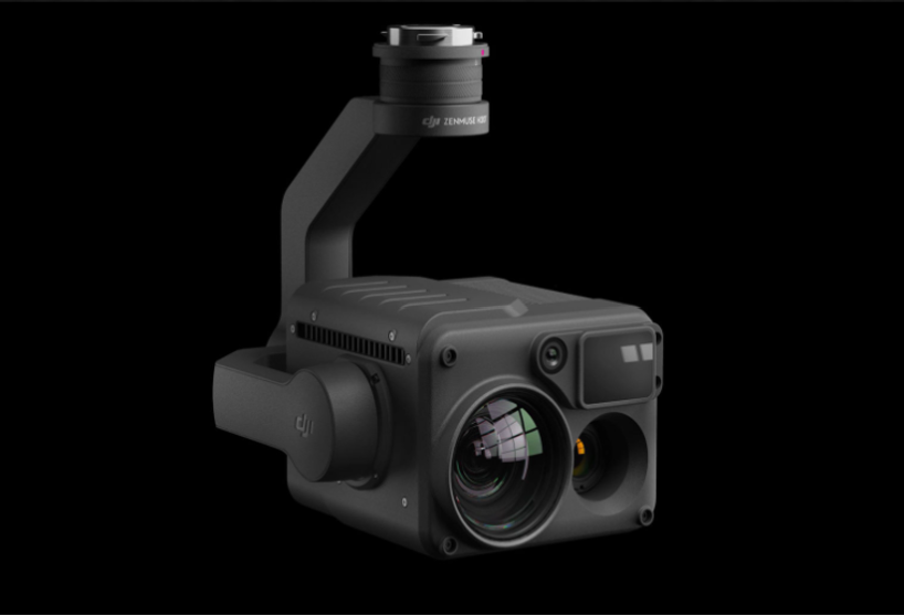
Infrared Radiometric Thermography is the only diagnostic tool that allows you to visualize and measure temperature variations and record thermal performance. For inspections, we are able to use a 23x Hybrid Optical Zoom Camera with a 200x Max Zoom capability along with a pinpoint laser range finder. Our Quad sensor camera is considered the best commercially available for radiometric evaluations and inspections on the market while completing the job in all weather conditions.
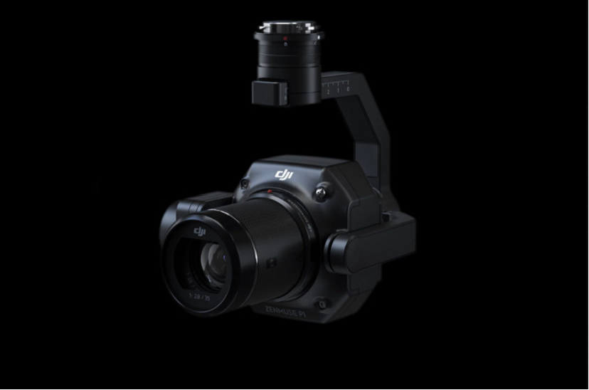
Our cameras deliver video quality equal to professional handheld cameras. They are designed specifically for aerial imaging and can shoot stunning video at 60fps in 4K resolution and still photos using a 45mp full-frame sensor. Our cameras can record standard, zoom, and thermal photos simultaneously while providing RTK stability and accuracy for incredibly accurate and detailed photogrammetry projects. The P1 can produce detailed 3D maps that are truly amazing.
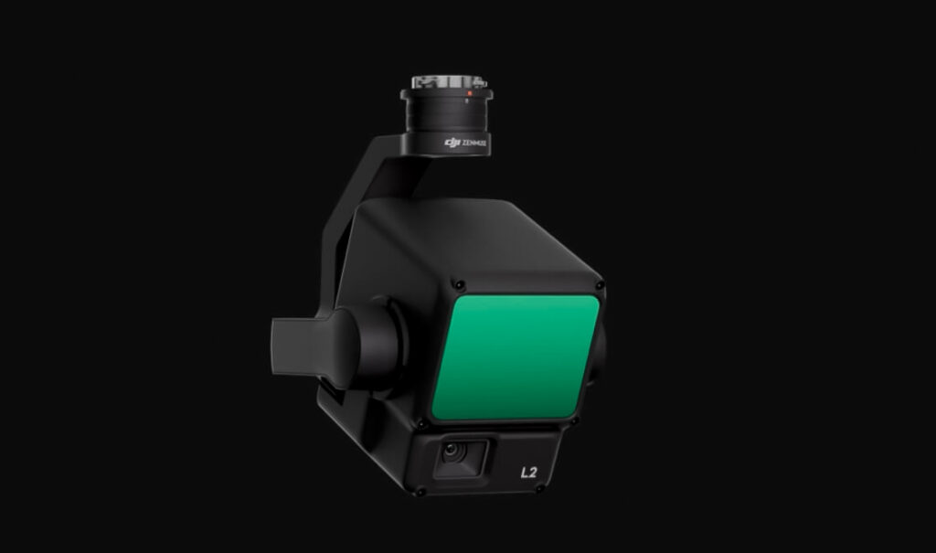
Supported by its powerful hardware, L2 can allow for a precise scan of complex subjects within an extended range and faster point cloud acquisition. During operations, users can preview, playback, and process point cloud models on-site, with Task Quality Reports generated by DJI Terra, offering a simple, one-stop solution to improve overall efficiency. This enables users to achieve high-precision point cloud results with one-stop post-processing.